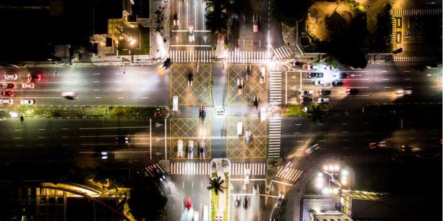
Google Maps will expand street detailing – In addition to making Google Maps more colorful, Google plans to bring more information to those who need to get around safely and efficiently.
“Soon, you will be able to see highly detailed street information that shows the precise shape and width of a road at scale,” published the search engine.
“You can also see exactly where sidewalks, crosswalks and crosswalks are located – crucial information if you have accessibility needs, such as wheelchairs or prams.”
According to the company, these details will be useful to help people who are choosing to walk or use other forms of transport due to the pandemic and social detachment
The first places to receive detailed street maps in the coming months are the cities of London, New York and San Francisco, with plans to expand to other cities in the future.
Google Maps started to receive, from today, visual improvements to bring even more details to the maps, allowing to better understand an area for exploration without leaving home or even planning a visit.
“With a new algorithmic color mapping technique, we are able to take these [high definition satellite] images and translate them into an even more comprehensive and vibrant map of an area on a global scale,” says the Mountain View giant .
Also Read :
“With this update, Google Maps has one of the most comprehensive views of natural resources in any map application – with availability in all 220 countries and territories that Google Maps supports.”
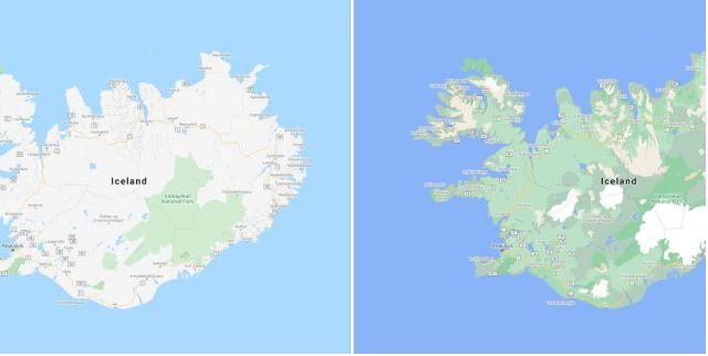
According to the company, the improvements cover more than 100 million square kilometers of land, or 18 billion football fields, from metropolitan areas to small rural cities.
The company is using computer vision to identify natural features in satellite images, looking specifically at arid, icy, forested and mountainous regions.
Google engineers then assign a range of colors to the HSV color model – the color system formed by the hue (hue), saturation and value components.
“A densely covered forest can be classified as dark green, while an area of irregular shrubs can appear as a lighter shade of green,” exemplifies the company.


One Reply to “Google Maps will expand street detailing”
Comments are closed.